 The Esri User Conference (Esri UC) has a 40-year history of being an inspirational, informative and much-anticipated annual networking event for GIS professionals. The opportunity to meet in-person and share experiences is vital for moving the industry forward.
However, 2020 is a much different year, in a much different world, under the new normal presented by the coronavirus (COVID-19). In light of the challenge, Esri, like other organizations hosting gatherings, has opted to retool its approach to the 2020 Esri User Conference. Instead of being canceled, the world’s largest GIS event is going virtual on July 13-15, 2020!
Now Virtual. Now What?
The change in format hasn’t diminished the enthusiasm for knowledge sharing! Register for the conference, and a wealth of information is delivered to you digitally in the comfort of your own home or office, including:
- The virtual Plenary Session, technical workshops, and Esri Showcase that feature many demonstrations and live discussions throughout the conference
- Opportunities for networking, collaboration and real-time interaction with Esri experts and staff
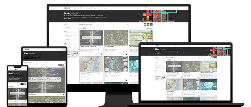
- Digital connectivity to user presentations and the user-generated Map Gallery
- A library of recorded sessions and demos archived as an ongoing resource
Connect to These 4 Sessions
With so many opportunities to learn and network, we want to help you make the most of your 2020 Esri UC virtual experience by suggesting these up-to-the-minute conference sessions:
- Solving Webmap Challenges: Imperfect Data, Engaging Popups and Apps showcases the typical obstacles that imperfect data pose, and how to handle them
- So Many Amazing Basemaps! But Which is Right for You? walks through the basemap selection process, shows why some are designed for certain use cases over others, and showcases current tools and methodologies
- Esri Demographics and Census 2020: What’s New in the U.S.? explores what census data is currently available for the U.S., accessibility opportunities, and practical ways to incorporate it into analyses.
- Spatial Analysis and Data Science: The Road Ahead explores Esri’s advancements in spatial data science including analysis, machine learning, and integration of big data and open source data libraries. There is also a separate Q&A with the Product Team.
Attendance at the Esri UC 2020 may be a bit different this year, but it remains a highly valuable resource for GIS professionals. Don’t miss your chance to make a virtual connection with colleagues at the conference, or any time with the ADCi team. Contact us today to discuss your digital mapping challenges — and how we can solve them together!
Subscribe to ADCi's Blog
Related Posts

3 Takeaways from the 2019 Esri User Conference

4 Reasons to Attend the 2018 Esri User Conference

