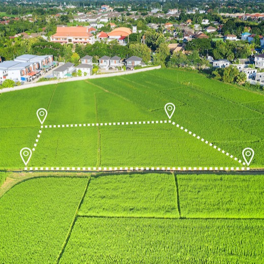
Which squad cars are in use? Are the garbage trucks on time? Where is the new parks and recreation truck now, and how soon will it be able to get to the next park to take care of a few landscaping issues? This kind of asset tracking is only possible with top-tier, accurate and reliable map data that allows for real-time updates and has every road — even those rugged roads less traveled — available to see.
MEETING CONSTITUENTS' NEEDS THROUGH RELIABLE MAP DATA
Governments have a responsibility to efficiently meet the needs of those they govern. Whether it’s municipal, state or federal government, mapping data and APIs are valuable tools they must use to better serve their citizens.

INTERNAL OPERATIONS
To run smoothly, governments turn to mapping for internal operations and planning. One of the biggest planning scenarios is the proper distribution of services, such as finding an ideal location for a new firehouse or police station.
ASSET TRACKING


NATURAL DISASTER MANAGEMENT
For areas hit hard by severe weather, earthquakes and other natural disasters, it’s critical that resources are sent where they’re needed. By tracking where a disaster occurred and plotting the quickest, safest route there, citizens can get the help they need as quickly as possible. Maps are also used to plot evacuation routes, assess damage and compare current conditions with historical data for added insights.
WHY INVEST IN MAP API?
Governments that want to simply rely on their own maps may be missing out on important features, such as timely updates and customer service. For map providers, that’s their entire business, and they have access to hundreds of millions — even billions — of real-time data points from sources worldwide. Can your own maps tap into that kind of resource?
When counting on outside map providers, you’ll also be able to access a variety of support, including helpful documentation, to help with any trouble.

OTAY WATER DISTRICT
Otay Water District in San Diego County, California, required up-to-date map data and GIS to efficiently serve the 125 square miles of its jurisdiction. They turned to modern mapping providers to get it done.
“We use it for navigation and routing as well as geocoding. Having up-to-date, accurate map data has allowed us to be more efficient overall, especially since it saves field personnel time and allows them to be more productive.”

LEONEL TORRES
Otay Water District GIS Analyst

LICENSING MAP DATA AND APIs
THROUGH A RESELLER
You can always go directly to one of the popular mapping providers. Or, you can ensure you’re getting the best service from a small, dedicated team of experts who are easier to connect with and thrive on putting the customer first.
The experts at ADCi have been in the GIS and mapping business for decades. When you turn to us to license mapping data that ensures your citizens are getting what they need, we’ll set everything up for you to get you started and will serve as a direct line of communication from then on.
Quick, flexible and accurate guidance is at your service.
Contact us and let’s discuss what you’re looking for.