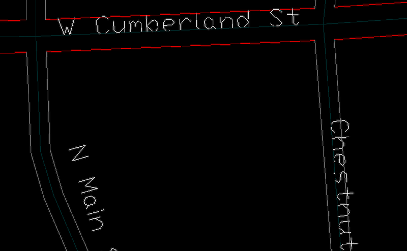
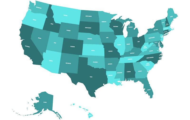
 Thematic maps are hardly a new concept. The mid-17th century found English astronomer Edward Halley developing maps of stars, trade winds, and magnetic variations that paved the way for navigation and the study of the physical environment. In the ensuing centuries, the medical community used thematic maps to plot illness and determine the causes of epidemics; and, French engineer Louis-Leger Vauthier thematically mapped population distribution in Paris by introducing what’s believed to be the first use of isolines.
Thematic maps are as valuable today as they were then and provide a wealth more information. As maps designed to narrowly focus on a topic connected within a specific geographic boundary, thematic maps make it easier to drill down into granular information such as annual rainfall within a given area, national per capita personal incomes, or even the number of fast food visits by a certain age group within each county of each state in the United States. The type of information accessed depends on the individual use case, but these examples underscore the benefits thematic maps provide to a wide range of people, from cartographers and general map users to data analysts.
Types of Thematic Maps
Advancements in data specificity led to different ways in which thematic maps display information. Two primary types of thematic maps are:
- Choropleth, in which areas are shaded or patterned in proportion to the measurement of the statistical variable being displayed on the map, as in this example of population density within the United States:
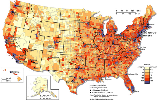
Source: http://mapanalysisib.blogspot.com/2013/07/population-density-choropleth-map.html
- Isopleth (also known as a contour map), a map that uses lines to connect data of the same value and/or to indicate areas with similar regional aspects as illustrated by this weather map denoting high and low pressure systems:
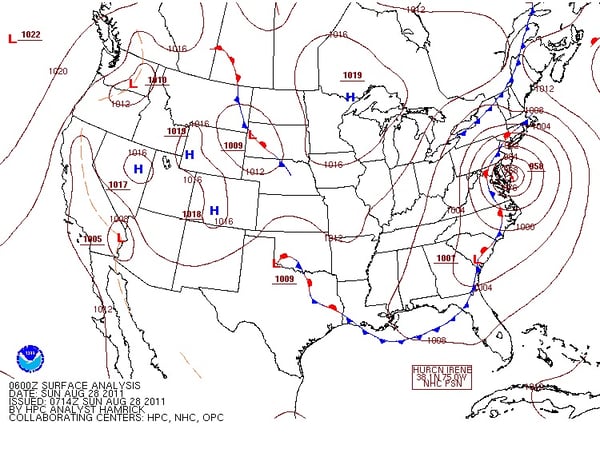
Source: Penn State College of Earth and Mineral Sciences, Dept. of Meteorology and Atmospheric Science
The Advantages of ADC WorldMap
Regardless of type, each thematic map needs base data in order to properly capture and display images. Leveraging the convenience and functionality of a detailed digital atlas such as ADC WorldMap can easily provide the needed data and convert it to thematic maps that fit a variety of use cases. Key features include:
- Seamless geographic data for the whole Earth, the most current country and first level political boundaries for the entire world, and second level administrative boundaries in 148 countries worldwide.
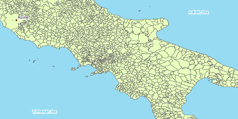
- More than 60,000 Admin 3 boundaries in six countries:
- United States
- Germany
- England
- Wales
- Italy
- South Africa
- Contour, supplemental contour, and physiography map features are useful in displaying environmental characteristics such as elevations, weather data, and more.
- Flexible customization and licensing options that fit the needs and budgets of research groups, government entities, universities, non-profits, independent groups, and other organizations.
The centuries-long staying power of thematic maps speaks to their significance. The technological advancements like those offered by ADC WorldMap ensure map developers and users will continue to rely on them now and into the future. Explore the possibilities! Download a free sample of ADC WorldMap by clicking the button below.
Subscribe to ADCi's Blog
Related Posts

7 Factors That Influence Your Map Data Budget
A Sneak Peek at ADC WorldMap v7.6
